September 22, 2026 Post by : Editorial Regional Geography
Kettle Lakes and Kames: Reading a Stagnant Ice Landscape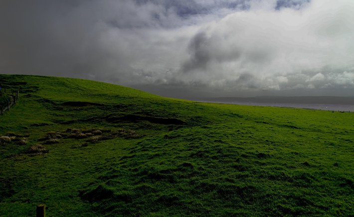
Ask a geographer to name a classic drumlin landscape and Ireland will come up almost immediately. The Irish midlands, stretching in a broad belt from Donegal through Leitrim, Cavan, and into parts of Meath and Westmeath, contain thousands of drumlins packed together so tightly that local people have long called the terrain 'basket country'. This concentration is not accidental — it reflects the specific conditions under which the last Irish ice sheet wasted away.
During the last glacial maximum, most of Ireland was buried beneath an ice sheet that flowed outward from centres in the north and west. As the climate warmed, the ice margin retreated northwards and inland, and for a time the ice became sluggish and lobate along its southern and eastern edges. It was in these marginal zones, where ice was thin, wet-based, and loaded with sediment, that drumlins formed in enormous numbers.
What the Drumlin Belt Tells Us
The orientation of Irish drumlins is remarkably consistent within regions. In the north-west, they point roughly north-west to south-east; in the midlands, they swing towards the east and north-east. When mapped, these orientations trace the flow lines of the decaying ice sheet, showing how different lobes advanced and retreated at different times. Some drumlins are superimposed on older ones, indicating that ice re-advanced over ground it had already shaped.
Interpreting the drumlin belt is not just about ice direction. The sediment itself — a stiff, clay-rich till — tells us about the material the ice was carrying. The density of drumlins suggests that large volumes of sediment were available, likely reworked from earlier glacial deposits. Their streamlined form implies that ice slid over the bed rather than freezing to it, which fits with the idea of a wet-based, rapidly retreating margin.
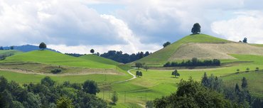
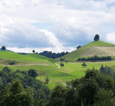
The drumlin belt has practical consequences too. The hills create a distinctive patchwork of small fields, drumlin tops often dry and drumlin hollows damp. Roads wind between them, and many townlands take their names from the hills themselves. In this way, a glacial landform shapes not only the physical landscape but also patterns of settlement and land use that persist today.
Beyond Ireland
Ireland is not unique. Similar drumlin fields occur in Scotland, northern England, Poland, Canada, and the northern United States. Comparing them helps geographers identify the common conditions that favour drumlin formation: abundant till, wet-based ice, and a retreating margin. Ireland's drumlins are simply one of the best-preserved and most accessible examples in the world.
For students of geography, the Irish drumlin belt is a natural laboratory. It shows how a single landform, repeated thousands of times, can be read as a record of ice sheet behaviour — and how that record continues to influence the human landscape centuries later.

Author

22 feb,2025
This incident opened my eyes to the value of Insurance in general, so I decided to examine my personal and business insurance.

Comment (3)
The payments are made directly from one person to another without passing through a central bank or clearing house.
22 feb,2025
ReplyErratics and Striations: Reading the Fingerprints of Ancient Ice
23 feb,2025
ReplyWhy Ireland Is Covered in Drumlins: A Case Study in Ice Sheet Retreat
23 feb,2025
Reply