September 25, 2026 Post by : Editorial Field Methods
Cirques: The Armchair-Shaped Hollows Where Glaciers Are Born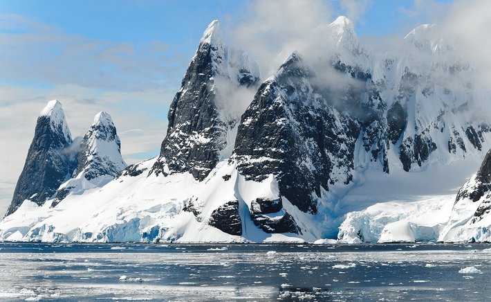
Some of the most useful evidence for past glaciations is also the simplest to spot. A glacial erratic is a rock that does not belong where it sits — a granite boulder resting on limestone, or a chunk of metamorphic rock stranded on a sandstone plain. These misfits were carried by ice, sometimes hundreds of kilometres, and dropped when the ice melted. For geographers, erratics are not just curiosities; they are data points in a reconstruction of vanished ice sheets.
The power of an erratic lies in its provenance. If you can identify the bedrock source of a boulder, you know the general direction the ice travelled. Boulders of distinctive rock types — such as the reddish granite erratics scattered across parts of northern Europe — can be traced back to specific outcrops, allowing researchers to map ice-flow paths across entire regions. In some cases, trains of erratics stretch out like breadcrumbs marking a glacier's route.
Striations: Scratches That Point the Way
While erratics record transport, striations record direction. These are fine parallel scratches or grooves cut into bedrock by rocks embedded in the base of a moving glacier. They form best on hard, fine-grained rocks like limestone or basalt, where the scratches are preserved for thousands of years after the ice disappears.
Geologists measure striations in the field by recording their orientation with a compass and noting features like crescent-shaped gouges that indicate which way the ice was moving. When hundreds of striation measurements are plotted on a map, they reveal the flow lines of an ice sheet, just as drumlin axes do. The two lines of evidence often agree, which strengthens the reconstruction.
Striations also help distinguish glacial erosion from other processes. Water currents do not produce the same straight, parallel grooves, and rockfall or faulting leaves different patterns. When striations appear alongside polished rock surfaces and chatter marks — small crescent fractures — the glacial interpretation becomes very secure.
Combining Evidence in the Field
Good glacial geology rarely relies on a single clue. A field geographer might record erratics, striations, drumlin orientations, and moraine positions in the same area, then cross-check them against each other. If all the evidence points the same way, the reconstruction is robust. If it conflicts, the landscape may record more than one phase of glaciation, with ice flowing in different directions at different times.
This layered approach is what makes glacial geomorphology so satisfying. A single boulder on a hillside is just a rock. But when it is placed alongside scratched bedrock and streamlined hills, it becomes part of a story about ice that once covered the land.

Author
22 feb,2025
This incident opened my eyes to the value of Insurance in general, so I decided to examine my personal and business insurance.
Comment (3)
The payments are made directly from one person to another without passing through a central bank or clearing house.
22 feb,2025
ReplyDrumlins 101: How Ice Sheets Sculpted the Rolling Hills of the North
23 feb,2025
ReplyMoraines, Eskers, and Kames: A Field Guide to Glacial Deposits
23 feb,2025
Reply