September 13, 2026 Post by : Editorial Glacial Deposits
Drumlins 101: How Ice Sheets Sculpted the Rolling Hills of the North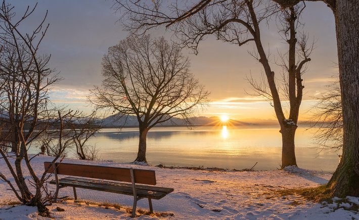
Not all glacial landscapes are orderly. Some are a lumpy, pockmarked jumble of mounds and hollows that look as if a giant has been digging and filling holes at random. This kind of terrain is typical of areas where a glacier stagnated and melted in place rather than retreating as a coherent mass. Two of the most characteristic features of such landscapes are kames and kettles, and learning to recognise them opens a window into the final, messy stages of deglaciation.
A kame is a mound or hummock of sand and gravel that was deposited by meltwater at the edge of a glacier or in a depression on the ice surface. As the ice melted, the sediment sank or was let down onto the ground beneath, leaving a hill where there was once a hole or a stream on the glacier. Kames can be conical, irregular, or ridge-shaped, and they often occur in clusters. Because they are made of sorted sand and gravel, they tend to be well drained, and their slopes are often used for gravel pits or covered in pine forest.
Kettles: Holes Left by Buried Ice
A kettle is the opposite of a kame: a hollow or depression formed when a block of ice became buried in glacial sediment and then melted away, leaving the overlying material collapsed into the void. Kettles range from a few metres to several kilometres across. When they fill with water, they become kettle lakes, and when they fill with peat, they become bogs or fens. The steepness of their sides depends on the sediment that collapsed into them; sandy kettles tend to have gentler slopes, while those in till can have surprisingly steep rims.
Kettles are often found in outwash plains, where meltwater rivers spread sand and gravel beyond the ice margin. A block of ice could be stranded on the outwash plain, buried by sediment, and then melt slowly, producing a pit. Kettle lakes are common in parts of North America and northern Europe that were covered by continental ice sheets, and they provide important habitats for waterfowl, amphibians, and wetland plants.
Putting the Pieces Together
Kames and kettles rarely occur alone. They are part of a broader assemblage of features called stagnation topography, which also includes hummocky moraine, crevasse fillings, and irregular ridges. This kind of terrain is difficult to farm because it is so uneven, and it often remains wooded or used for recreation. For geographers, it is a sign that the ice did not simply retreat like a melting ice cube, but instead broke up into stagnant blocks that melted slowly under a blanket of their own debris.
Reading a stagnant ice landscape is a bit like solving a puzzle. Each mound and hollow is a clue about where ice was buried, where meltwater flowed, and where sediment collapsed. When you see a small lake surrounded by irregular sandy hills, you are looking at the ghost of a glacier that died in place. It is a reminder that glacial retreat is not always a neat, orderly process, and that some of the most interesting landforms are born from chaos.
Author
22 feb,2025
This incident opened my eyes to the value of Insurance in general, so I decided to examine my personal and business insurance.
Comment (3)
The payments are made directly from one person to another without passing through a central bank or clearing house.
22 feb,2025
ReplyDrumlins 101: How Ice Sheets Sculpted the Rolling Hills of the North
23 feb,2025
ReplyMoraines, Eskers, and Kames: A Field Guide to Glacial Deposits
23 feb,2025
Reply