October 1, 2026 Post by : Editorial Glacial Landforms
Why Ireland Is Covered in Drumlins: A Case Study in Ice Sheet Retreat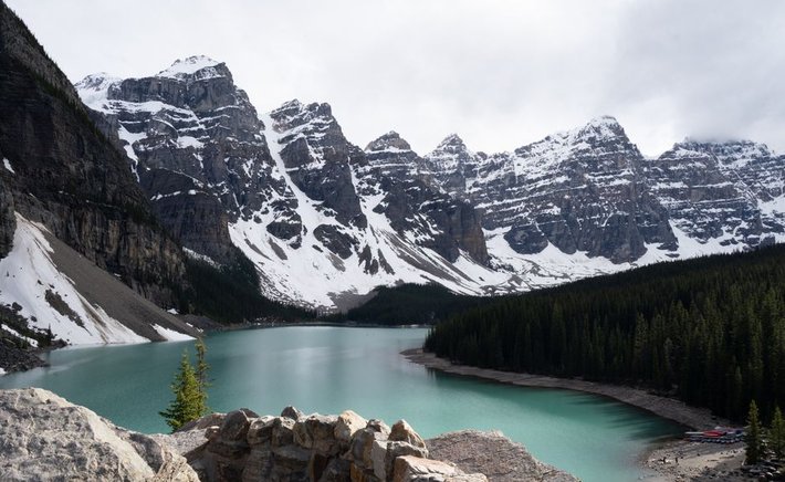
When a glacier retreats, it does not simply vanish. It drops its cargo — rock, sand, clay, and gravel — in a bewildering variety of piles, ridges, and mounds. To the untrained eye, these deposits can look like random lumps in the landscape. To a geographer, each landform is a clue about how the ice behaved, where meltwater flowed, and how quickly the glacier wasted away.
Start with moraines, the most familiar of glacial deposits. A moraine is simply an accumulation of unsorted till that marks a former ice margin. Terminal moraines form at the farthest point a glacier advanced, while recessional moraines mark pauses during retreat. They often appear as low, hummocky ridges running across a valley or plain. Because till is dumped rather than washed, moraines contain a jumble of grain sizes, from fine clay to house-sized boulders.
Landforms Built by Meltwater
Where meltwater, not ice, did the work, the deposits look very different. Eskers are long, sinuous ridges of sand and gravel that formed in tunnels beneath or within a glacier. As meltwater rushed through these conduits, it deposited sediment that was later left standing as a winding ridge when the ice melted away. Some eskers run for tens of kilometres, and because their gravel is well sorted and drained, they have been quarried for road material for generations.
Kames are another meltwater landform, but instead of long ridges they appear as isolated mounds or short hummocks. They typically form where sediment accumulated in depressions on, in, or against the ice, then collapsed into a heap as the supporting ice melted. A related feature, the kame terrace, forms along the edge of a melting glacier where sand and gravel pile up between the ice and a valley wall.
Kettle holes complete the picture. These are depressions left when a block of buried ice melted out from within a deposit, leaving a pit that often fills with water to become a pond or small lake. A landscape speckled with kettles and hummocks is called kame-and-kettle topography, and it is a sure sign that stagnant, debris-covered ice once occupied the area.
Putting the Pieces Together
Reading a glacial landscape means asking what agent did the work. Ice leaves unsorted till in moraines and drumlins. Meltwater leaves sorted sand and gravel in eskers and kames. Collapse of buried ice leaves kettles and irregular hummocks. When you can distinguish these deposits in the field, you can reconstruct the sequence of advance, stagnation, and retreat that shaped the ground beneath your feet.
Author
22 feb,2025
This incident opened my eyes to the value of Insurance in general, so I decided to examine my personal and business insurance.

Comment (3)
The payments are made directly from one person to another without passing through a central bank or clearing house.
22 feb,2025
ReplyThe Geography of U-Shaped Valleys: How Glaciers Carve Mountains
23 feb,2025
ReplyErratics and Striations: Reading the Fingerprints of Ancient Ice
23 feb,2025
Reply